
01 · Survey control & mapping
Surveying & Geospatial Mapping
Engineering-ready spatial control, topographic context, and GIS-ready mapping for land, corridors, and complex sites.
What we solve
From a client problem to a clear spatial framework.
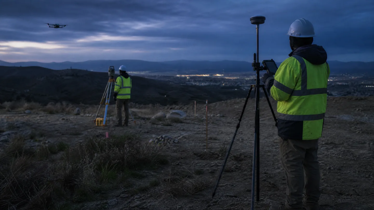
Start with the spatial framework the project needs. Survey control, GNSS/RTK, field observations, and mapping outputs are planned around the engineering, land, corridor, or asset decision at hand.
Core technologies
Technologies selected for the job.
GNSS / RTK
Control networks
Total station workflows
UAV imagery where appropriate
Photogrammetry
GIS and CAD integration
Typical workflow
A traceable chain from capture to delivery.
- 01Define
- 02Control
- 03Observe
- 04Map
- 05Verify
- 06Deliver
Key deliverables
Structured outputs for engineering use.
Applications / Industries
Built for real environments and decisions.
Related capabilities
LiDAR & 3D Reality Capture
High-density three-dimensional capture for terrain, assets, as-built conditions, and digital spatial models.
ExploreNavigation & Sensor Fusion
Integrated GNSS/INS, trajectory, timing, and sensor workflows that position dynamic observations precisely.
ExploreEngineering & Surveying
Integrated sensing and positioning workflows that extend field capacity and connect observations to design environments.
Explore