
02 · Dense spatial capture
LiDAR & 3D Reality Capture
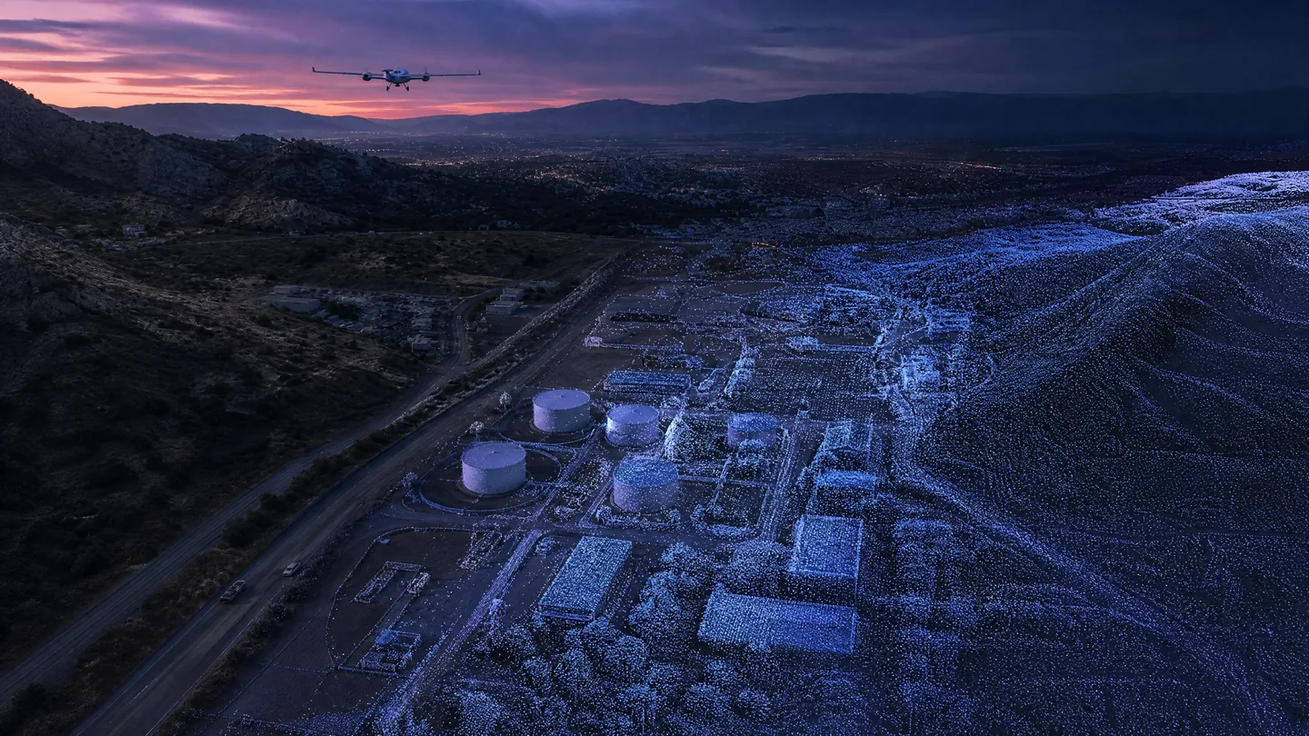
High-density three-dimensional capture for terrain, assets, as-built conditions, and digital spatial models.
What we solve
From a client problem to a clear spatial framework.
LiDAR and reality capture are structured as a full measurement chain: select the platform, position the sensor, process the point cloud, classify the environment, and deliver the 3D products the project can use.
Core technologies
Technologies selected for the job.
Airborne LiDAR
Mobile LiDAR
Terrestrial LiDAR
GNSS / INS
Point-cloud processing
Photogrammetry where appropriate
Typical workflow
A traceable chain from capture to delivery.
- 01Scope
- 02Capture
- 03Position
- 04Process
- 05Classify
- 06Deliver
Key deliverables
Structured outputs for engineering use.
Applications / Industries
Built for real environments and decisions.
Related capabilities
Surveying & Geospatial Mapping
Engineering-ready spatial control, topographic context, and GIS-ready mapping for land, corridors, and complex sites.
ExploreInfrastructure & Asset Intelligence
Engineering-led spatial context for roads, utilities, buildings, and infrastructure assets that need measured visibility.
ExploreInfrastructure
Spatial intelligence for assets, corridors, terrain, and programs that must be understood across their complete context.
Explore