
07 · Field variability & land
Precision Agriculture & Land Intelligence
Spatial evidence for crops, vegetation, terrain, field variability, and practical land-management decisions.
What we solve
From a client problem to a clear spatial framework.
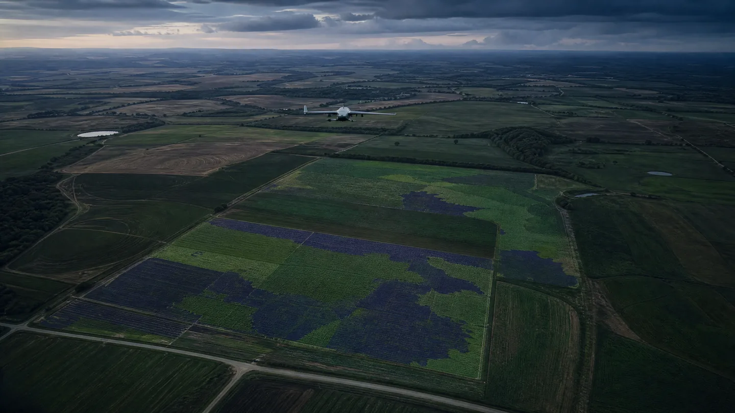
Agricultural and land programs benefit from measured field context. Multispectral and thermal observations, terrain analysis, precision positioning, and GIS layers can be assembled around the questions that matter across a growing season or land-management cycle.
Core technologies
Technologies selected for the job.
Multispectral imaging
Thermal sensing
Agricultural UAV data
GNSS / RTK
Terrain models
GIS analysis
Typical workflow
A traceable chain from capture to delivery.
- 01Question
- 02Capture
- 03Position
- 04Analyze
- 05Interpret
- 06Deliver
Key deliverables
Structured outputs for engineering use.
Applications / Industries
Built for real environments and decisions.
Related capabilities
Satellite & Remote Sensing Intelligence
Earth-observation imagery processed into classified features, change context, land-cover evidence, and GIS-ready spatial intelligence.
ExploreSurveying & Geospatial Mapping
Engineering-ready spatial control, topographic context, and GIS-ready mapping for land, corridors, and complex sites.
ExploreEnvironmental Monitoring
Repeatable spatial evidence for terrain, vegetation, waterways, habitat, and changing natural environments.
Explore