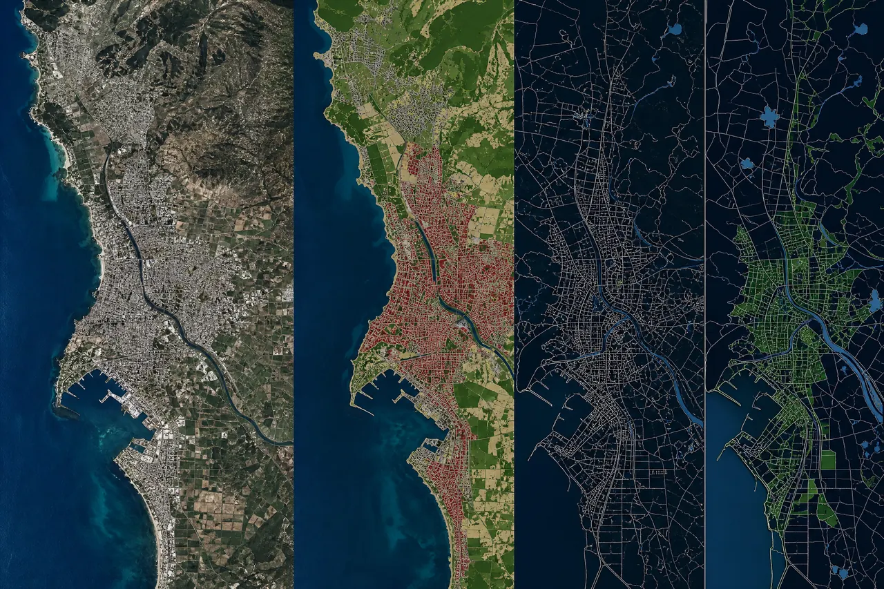

Editable case-study template01
LiDAR / 3D
Airborne LiDAR · 3D Mapping
Aerial LiDAR Data Collection & Analysis
A high-coverage airborne workflow that turns terrain and infrastructure observations into classified 3D products.
Extent~1,330 km²
Platform[Survey UAV or aircraft platform pending verification]
Sensor / sourceAirborne LiDAR
Positioning[GNSS/INS configuration pending verification]
Technical workflow
01LiDAR02GNSS/INS03Point Cloud04Classification053D Products
Defined outputs
DTMDSMClassified point cloud3D terrainGIS data
Project context
[Add the verified terrain, corridor, or coverage challenge.]
Engineering approach
[Add the verified acquisition, GNSS/INS, classification, and QA approach.]
Verified results
[Add verified outcomes only.]
Editable case-study templateView project structure