
05 · Spatial autonomy
Robotics & Automation
Geospatial intelligence, navigation integration, and mobile sensing for autonomous and semi-autonomous field platforms.
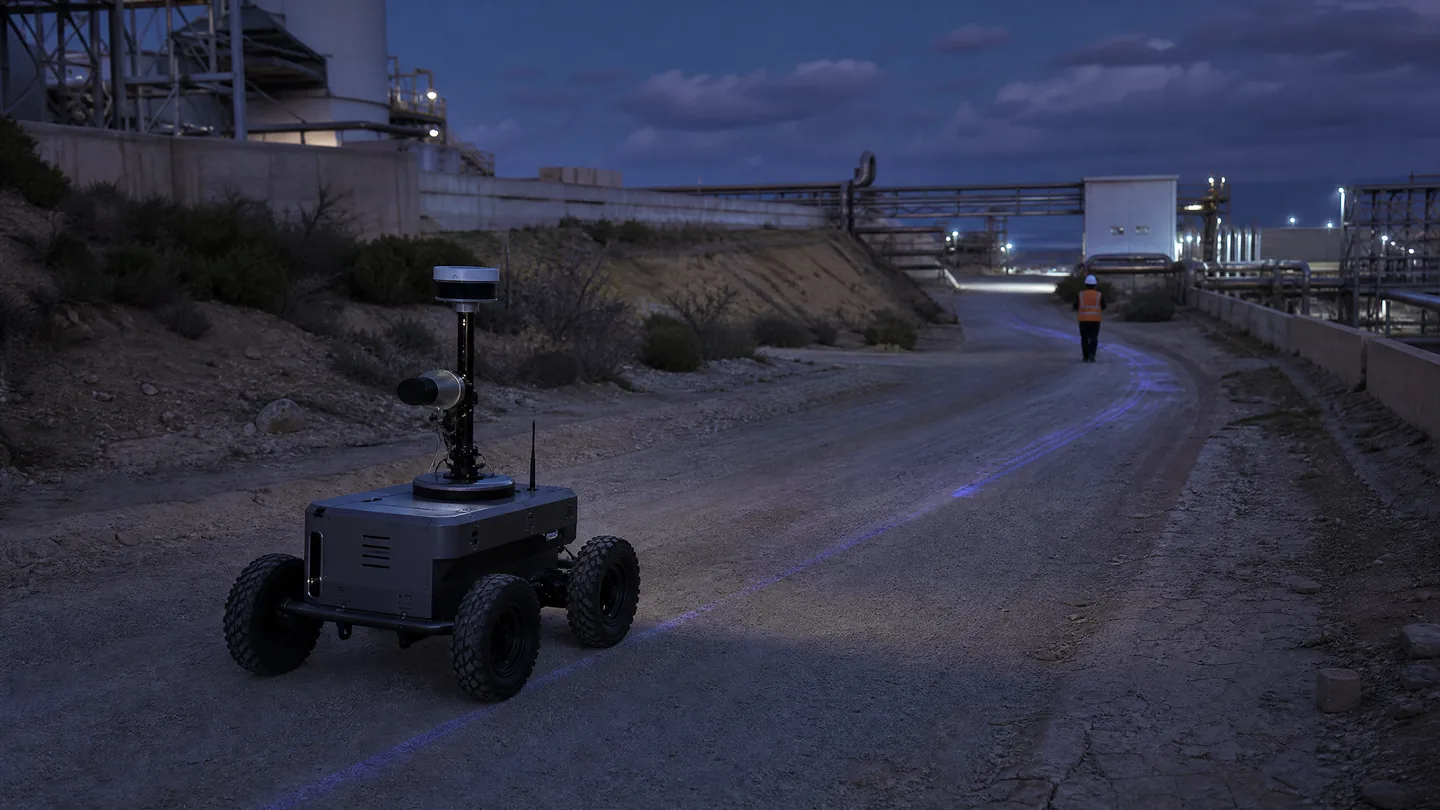
Capture → position → model
What we solve
From a client problem to a clear spatial framework.
Robotic mapping and field automation depend on spatial awareness. Navigation, sensing, coordinate registration, and environment models can be integrated so platforms and operators have the context needed to move, observe, and act.
Build spatial context for autonomous and semi-autonomous platforms
Integrate mobile sensing with mapping and navigation
Support machine guidance and field-work automation
Connect robotic observations to engineering coordinate systems
Core technologies
Technologies selected for the job.
01
GNSS / INS
02
LiDAR
03
Mobile sensing
04
Robotic mapping
05
Sensor fusion
06
Spatial registration
Typical workflow
A traceable chain from capture to delivery.
- 01Define
- 02Instrument
- 03Register
- 04Navigate
- 05Observe
- 06Refine
Key deliverables
Structured outputs for engineering use.
Robotic mapping data
Registered point clouds
Navigation and trajectory layers
Sensor integration plan
Environment model
GIS-ready field observations
Applications / Industries
Built for real environments and decisions.
Autonomous platforms
Machine guidance
Industrial sites
Mobile inspection
Field-work automation
Research and prototyping
Related capabilities