
06 · Water, shore & depth
Marine & Hydrographic Surveying
Positioned bathymetry, shoreline context, and marine spatial data for coastal, inland-water, and vessel-based surveying.
What we solve
From a client problem to a clear spatial framework.
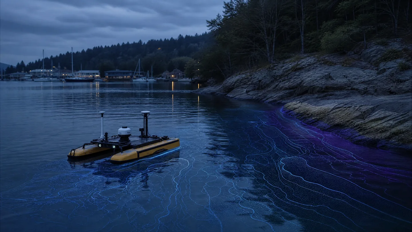
Marine and hydrographic programs combine vessel or USV positioning, inertial context, bathymetric sensing, shoreline mapping, and spatial processing to understand water bodies and the environments that meet them.
Core technologies
Technologies selected for the job.
Bathymetry
GNSS / INS
Vessel and USV positioning
Multibeam sensing
Shoreline mapping
GIS integration
Typical workflow
A traceable chain from capture to delivery.
- 01Plan
- 02Position
- 03Survey
- 04Process
- 05Review
- 06Deliver
Key deliverables
Structured outputs for engineering use.
Applications / Industries
Built for real environments and decisions.
Related capabilities
Navigation & Sensor Fusion
Integrated GNSS/INS, trajectory, timing, and sensor workflows that position dynamic observations precisely.
ExploreSatellite & Remote Sensing Intelligence
Earth-observation imagery processed into classified features, change context, land-cover evidence, and GIS-ready spatial intelligence.
ExploreEnvironmental Monitoring
Repeatable spatial evidence for terrain, vegetation, waterways, habitat, and changing natural environments.
Explore