
04 · Assets in context
Infrastructure & Asset Intelligence
Engineering-led spatial context for roads, utilities, buildings, and infrastructure assets that need measured visibility.
What we solve
From a client problem to a clear spatial framework.
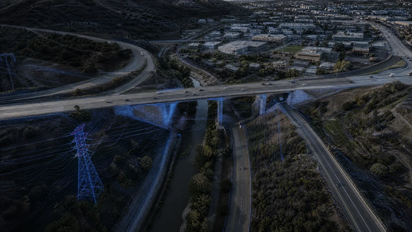
Infrastructure decisions need more than an isolated dataset. Mapping, LiDAR, imagery, inspection, and spatial analysis can be organized around condition, geometry, location, access, and the wider asset environment.
Core technologies
Technologies selected for the job.
LiDAR
Engineering imagery
GNSS / INS
Mobile mapping
Inspection sensing
GIS integration
Typical workflow
A traceable chain from capture to delivery.
- 01Frame
- 02Capture
- 03Integrate
- 04Assess
- 05Organize
- 06Deliver
Key deliverables
Structured outputs for engineering use.
Applications / Industries
Built for real environments and decisions.
Related capabilities
LiDAR & 3D Reality Capture
High-density three-dimensional capture for terrain, assets, as-built conditions, and digital spatial models.
ExploreSurveying & Geospatial Mapping
Engineering-ready spatial control, topographic context, and GIS-ready mapping for land, corridors, and complex sites.
ExploreAsset Management
Spatial context that connects assets to condition, location, geometry, and the environments around them.
Explore