
Technical knowledge
Understand the systems behind the map.
Practical perspectives on LiDAR, UAV mapping, GNSS/INS, 3D reality capture, and navigation.

What Is LiDAR Mapping? A Practical Engineering Guide
How laser range observations become positioned point clouds, terrain models, and engineering-ready geospatial data.
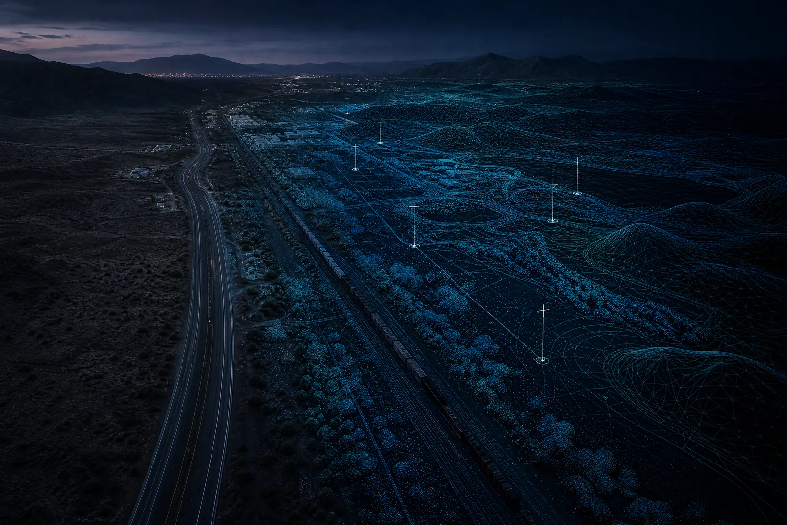
LiDAR vs Photogrammetry: Choosing a 3D Mapping Method
How LiDAR and photogrammetry differ in measurement, outputs, environment, and project fit—and where they work together.
What Is GNSS/INS? Positioning and Orientation for Mapping
An engineering overview of how GNSS and inertial navigation are integrated for position, timing, orientation, and mobile sensing.
Direct Georeferencing: Position, Orientation, and Calibration
How GNSS/INS trajectory, sensor timing, mounting relationships, and calibration connect images or laser observations to mapped space.
From GNSS Control to Survey-Grade Spatial Data
How control, coordinate frameworks, field observations, and verification connect to usable survey and GIS deliverables.
Turning Infrastructure Data into Asset Intelligence
Why mapping, reality capture, inspection observations, and GIS layers are more useful when organized around asset decisions.
Geospatial Intelligence for Robotics and Autonomous Systems
How positioning, mapping, sensing, and spatial registration support robotic and semi-autonomous field platforms.
How GNSS, INS and Bathymetry Enable Marine Surveying
A concise engineering resource on position, orientation, depth observations, shorelines, and marine spatial data.
Using Spatial Intelligence for Precision Agriculture
How field imagery, vegetation analysis, terrain, positioning, and GIS context can support agricultural observations.
From Satellite Imagery to Spatial Intelligence
How earth-observation imagery can move through preparation, segmentation, classification, feature extraction, and GIS integration.
Start with the environment
Have a complex environment to map?
Tell us what you need to capture, measure, model, or navigate. We’ll help define the right technology and workflow.